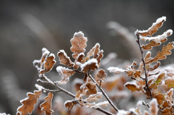
The Chicago area is experiencing another cold fall morning as freeze warnings and frost advisories have been issued for nearly all of Northeastern Illinois. The NBC 5 Storm Team has predicted similar conditions for Thursday morning as well.
This comes after a day of chilly, wet weather that left hail piled up on patios and sidewalks, creating a scene that resembled a dusting of snow. The National Weather Service has issued a freeze warning until 9 a.m. for McHenry, DeKalb, Kane, La Salle, Kendall, Grundy, and Kenosha Counties, with temperatures dropping as low as 28 degrees. In Lake, northern Cook, Will, and Kankakee Counties, a frost advisory is in effect until 9 a.m. with temperatures as low as 32 degrees.
The NWS has warned that these conditions could potentially harm crops, sensitive vegetation, and even outdoor plumbing. It is important for residents to take precautions and cover any sensitive plants or bring them indoors.
According to NBC 5 Meteorologist Alicia Roman, Wednesday will be a drier and slightly warmer day with temperatures in the low to mid 50s. However, by Thursday, temperatures are expected to rise into the 60s. But before that, another round of frost is expected, although warnings and advisories have not yet been issued.
The NWS has stated that widespread frost and near-freezing temperatures are expected again tonight, away from Chicago and the lakeshore. This will mark the end of the growing season for much of the area. It is advised to cover sensitive plants or bring them indoors to protect them from the cold.
The NBC 5 Storm Team has forecasted even milder conditions leading into the weekend, with temperatures reaching a high of 70 degrees on Friday. This will be a welcome change for residents who have been experiencing the recent cold snap.
Many may be wondering when Chicago’s average first frost usually occurs. According to the NWS, the typical first freeze of the fall happens in mid-October for most of the Chicago area, ranging between October 11th and 20th. This year, we are right on schedule, as stated by Roman.
The exact average date for the first freeze in Chicago is October 19th, with areas closer to the lake seeing that date slide into the last week of the month or even into the first week of November due to the proximity to Lake Michigan. However, for the rest of the suburbs, the first freeze typically occurs earlier, around October 13th in Rockford.
Roman also shared some interesting facts about the earliest and latest first freezes on record. The earliest first freeze for the Chicago area occurred on September 22nd, 1995, while the latest first freeze was on November 24th, 1931. This goes to show that the weather in Chicago can be unpredictable, and it is always best to be prepared for any sudden changes.
In 2023, Chicago’s first sub-freezing temperature did not occur until October 30th, when the low temperature was 31 degrees. The following day, on Halloween, the city saw nearly an inch of snow, marking its first measurable snowfall of the season.
As we prepare for the colder temperatures and potential frost, it is important to remember to take necessary precautions to protect ourselves and our surroundings. This includes covering sensitive plants, bringing them indoors, and making sure outdoor plumbing is properly insulated.
Despite the chilly weather, there is still plenty to look forward to in the coming days. The NBC 5 Storm Team has predicted milder conditions leading into the weekend, with temperatures reaching a high of 70 degrees on Friday. So, let’s bundle up and embrace the fall season in all its beauty.

